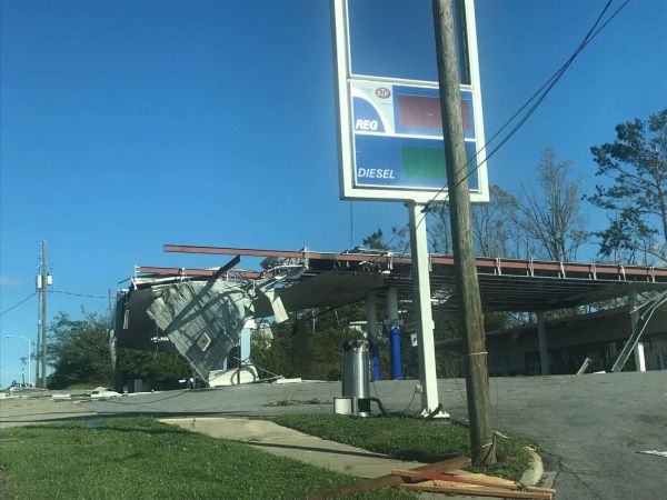
DeSantis declares emergency as hurricane looms
Tallahassee – Gov. Ron DeSantis on Monday declared a state of emergency for 41 counties as a storm system is expected to rapidly grow into a powerful hurricane in the Gulf of Mexico.

By Jim Turner and Tom Urban
The system, expected to be named Helene, was forecast Monday to reach northern Florida this week with life-threatening storm surge and winds that will cause widespread power outages.
“It’s going to be a hurricane, at least a Cat 1 (Category 1), possibly a Cat 2. Will it be stronger than that? That remains to be seen,” said Felecia Bowser, meteorologist in charge of the National Weather Service Tallahassee. “Those types of clarifications are going to be coming in the next day or two, where we can see if we are going to be faced with a major hurricane.”
The National Hurricane Center warned that while the most likely path of the system shows landfall in North Florida’s Big Bend region or in the Panhandle, storm surge, wind, and rain will affect areas well away from the center of the storm, particularly to the east of its eye.
“The hurricane regional models highlight the potential for strengthening to major hurricane intensity,” the hurricane center said in a mid-day update Monday.
A separate tracking map by the meteorology company AccuWeather had the storm rapidly intensifying while over the Gulf of Mexico to sustained winds topping 130 mph — Category 4 on the Saffir-Simpson Hurricane Wind Scale — and to make landfall with Category 3 strength of 111 mph to 129 mph sustained winds.
“The combination of deep warm water (ocean heat content) and low disruptive breezes (wind shear), should assist in rapid strengthening when over the Gulf of Mexico from Wednesday to Thursday,” AccuWeather Chief On-Air Meteorologist Bernie Rayno said in a statement. “Most likely, the storm will create its own environment and bring a surge in moisture to the currently dry air over the Gulf.”
AccuWeather noted that the storm could move into the Florida peninsula on Thursday, with a higher probability of landfall in the Panhandle late Thursday.
The area where the storm makes landfall could see 8 to 12 inches of rain. Parts of North Florida were battered last year by Hurricane Idalia and last month by Hurricane Debby — both of which made landfall in the Big Bend’s Taylor County.
DeSantis’ order placed Division of Emergency Management Executive Director Kevin Guthrie in charge of the state’s response, including coordinating efforts with utility companies, neighboring states and the federal government.
DeSantis’ order also activated the Florida National Guard and Florida State Guard.
The order included Alachua, Bay, Bradford, Calhoun, Charlotte, Citrus, Collier, Columbia, Dixie, Escambia, Franklin, Gadsden, Gilchrist, Gulf, Hamilton, Hernando, Hillsborough, Holmes, Jackson, Jefferson, Lafayette, Lee, Leon, Levy, Liberty, Madison, Manatee, Marion, Monroe, Okaloosa, Pasco, Pinellas, Santa Rosa, Sarasota, Sumter, Suwannee, Taylor, Union, Wakulla, Walton, and Washington counties.
The city of Tallahassee opened eight sandbag-distribution sites Monday, warning impacts were possible before daybreak Thursday.
The storm system is expected to make a gradual northwestern turn during the next day as the center passes through the Yucatan Channel and into the southern Gulf of Mexico.
From there, conditions in the Gulf of Mexico are favorable for significant strengthening, the hurricane center said.
In addition to Idalia and Debby making landfall in the Big Bend, Hurricane Michael brought 160 mph sustained winds near Mexico Beach in October 2018 and caused widespread damage in the Panhandle.


